

Geology of Andaman
- Jeet and Priya Mandal
- Sep 15, 2025
- 4 min read
Updated: Feb 14
This piece, written by a 6th grader, explains the dynamic geological history of the Andaman and Nicobar Islands.
The Andaman and Nicobar Islands are a group of islands found between the Bay of Bengal and the Andaman Sea, on the eastern side of India.
They are a tectonically active region (meaning the tectonic plates are moving, interacting, and causing geological activity).
Tectonic plates are like puzzle pieces. When two of these plates collide, the one which is heavier sinks below the lighter one. This sinking action is called subduction. The subduction zone is where island arcs are formed - like the Andaman and Nicobar islands. That means they were formed by volcanoes where two big plates of Earth’s crust crashed into each other under the sea!

Long ago, one of Earth’s plates - the India Plate, started sliding under another - the Burma or Sunda Plate. This caused volcanoes to rise up from the ocean floor, and over millions of years, the islands were formed. This started way back in the time of the dinosaurs and got stronger when India crashed into Asia. Lava and mud from deep inside the Earth helped build the islands we see today.
What Kinds of Rocks Are There?
The islands have many types of rocks, some are:
Ocean Rocks : These are rocks from the deep sea floor that got pushed up onto the land.
Sedimentary Rocks: These are made from sand, mud, and shells that got pressed into stone under the ocean. Some of them even came from coral reefs a long time ago.


Volcanic Rocks: Some islands, like Barren Island and Narcondam, are actual volcanoes!
A volcano is a vent fissure in the Earth’s crust, where molten rocks (magma) and gases erupt onto the surface. This material is called lava when it reaches the surface, along with ash, rocks, and gases.
There are three types:
Active: Currently erupting or showing signs of unrest. Barren Island is still active and sometimes erupts. It’s the only active volcano in all of India!
Dormant: Not currently erupting but could erupt in the future. Narcondam Island is categorized as a dormant volcano.
Extinct: Unlikely to erupt in the future.


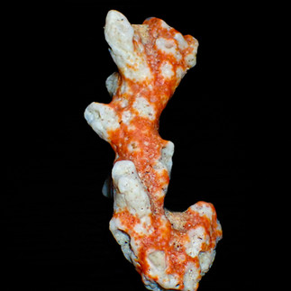
Coral Limestones: Around many islands, you’ll find rocks made from coral reefs. Some are still underwater, and some got lifted up over time.
The Andaman and Nicobar Islands are renowned for their rich and diverse coral reefs; making them biodiversity hotspots within India. These reefs are primarily composed of fringing reefs - which grow directly along the shoreline; and barrier reefs - which form further offshore with a lagoon in between.


Earthquakes and Tsunamis
The islands sit on the boundary of two tectonic plates (mentioned above), which are in a state of constant slow movement. Sometimes though, these plates can get stuck which can lead to a pressure buildup, and that release of pressure is an earthquake. When this earthquake is big and happens under the seabed, it can cause a tsunami - like the tsunami of December 2004.


Reading stories in stone and coral. Andaman’s geological treasures reveal a history carved by volcanoes, seas, and time. Photos: Sarah A.
Why does studying geology matter?
It helps us predict and prepare for natural disasters such as earthquakes, tsunamis, and volcanic eruptions. The rocks, mud, and even the coral tell us the story of how our islands are always changing.
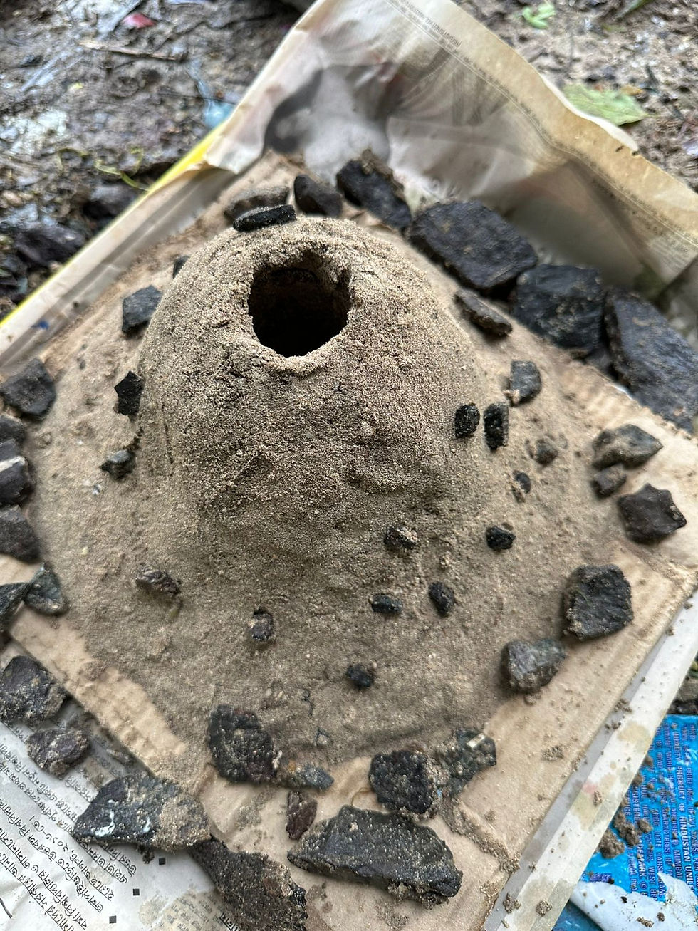
Some cool geological formations found on the islands:


Jeet's research
About the authors
Jeet is in grade 6 and loves reading the newspaper. He also knows everything about everything. He is Priya’s student.
Priya is a local girl from Havelock who is both an engineer and an educator. She has been teaching island kids for the past 3 years. She has helped and supported more than 300 children with school and empowered them to realise their dreams and ambitions.
Sharing is caring.
Share your thoughts with us in the comments section below.
Use the links below to share this story on your social networks.


Comments